



Welcome to My Blog
Notes on science, data, maps, and the landscapes we live in
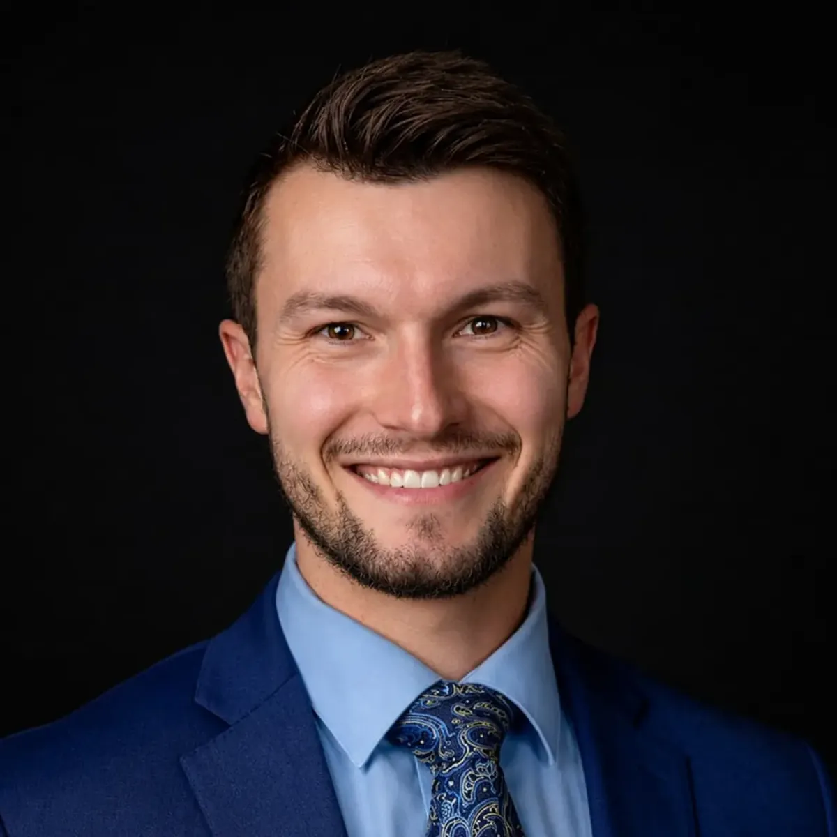
Where I focus my work
I work at the intersection of geospatial analytics, data science, and applied AI — turning spatial and environmental data into decision-ready insight.
Extracting signal from satellite and aerial imagery to monitor landscapes, vegetation, and environmental change over time.
Studying how landscapes and communities co-evolve — wildland-urban interface, land management, and regional risk.
Building reproducible spatial workflows and statistical models that quantify pattern, uncertainty, and trend.
Applying machine learning to geospatial problems and communicating results through clear, compelling visualization.
Tracking species, habitats, and ecosystem health to inform conservation planning and management decisions.
Designing scalable spatial data pipelines and open, interoperable tools that make geospatial work reproducible and shareable.
Technologies I use to build things
 R
R
 Python
 JavaScript
 SQL
SQL
 Markdown
 LaTeX
LaTeX
 HTML
HTML
 CSS
CSS
 Git
Git
 GitHub
 Actions
 Conda
Conda
 tidyverse
 pandas
 NumPy
NumPy
 Plotly
 ArcGIS Pro
 GEE
GEE
 QGIS
QGIS
 GDAL
GDAL
 sf
sf
 terra
terra
 GeoPandas
 OSM
OSM
Where I've worked and what I've built
Led GIS-based analysis assessing spatial patterns and land-use impacts on community and regional risk management
Conducted geospatial analysis to support wildland-urban interface and emergency management decision-making
Collected, cleaned, and validated spatial datasets to support GIS-based risk assessment and land-use planning
Applied GIS to support spatial planning and risk assessment for land management projects
Conducted quantitative data analysis for biomedical research using advanced statistical modeling and visualization
Collected, organized, and analyzed complex ecological datasets using spatial and statistical methods
Developed CAD drawings and project plans for residential remodeling projects
Managed and analyzed precinct-level GIS data for voter registration and electoral planning
Where I studied and what I learned
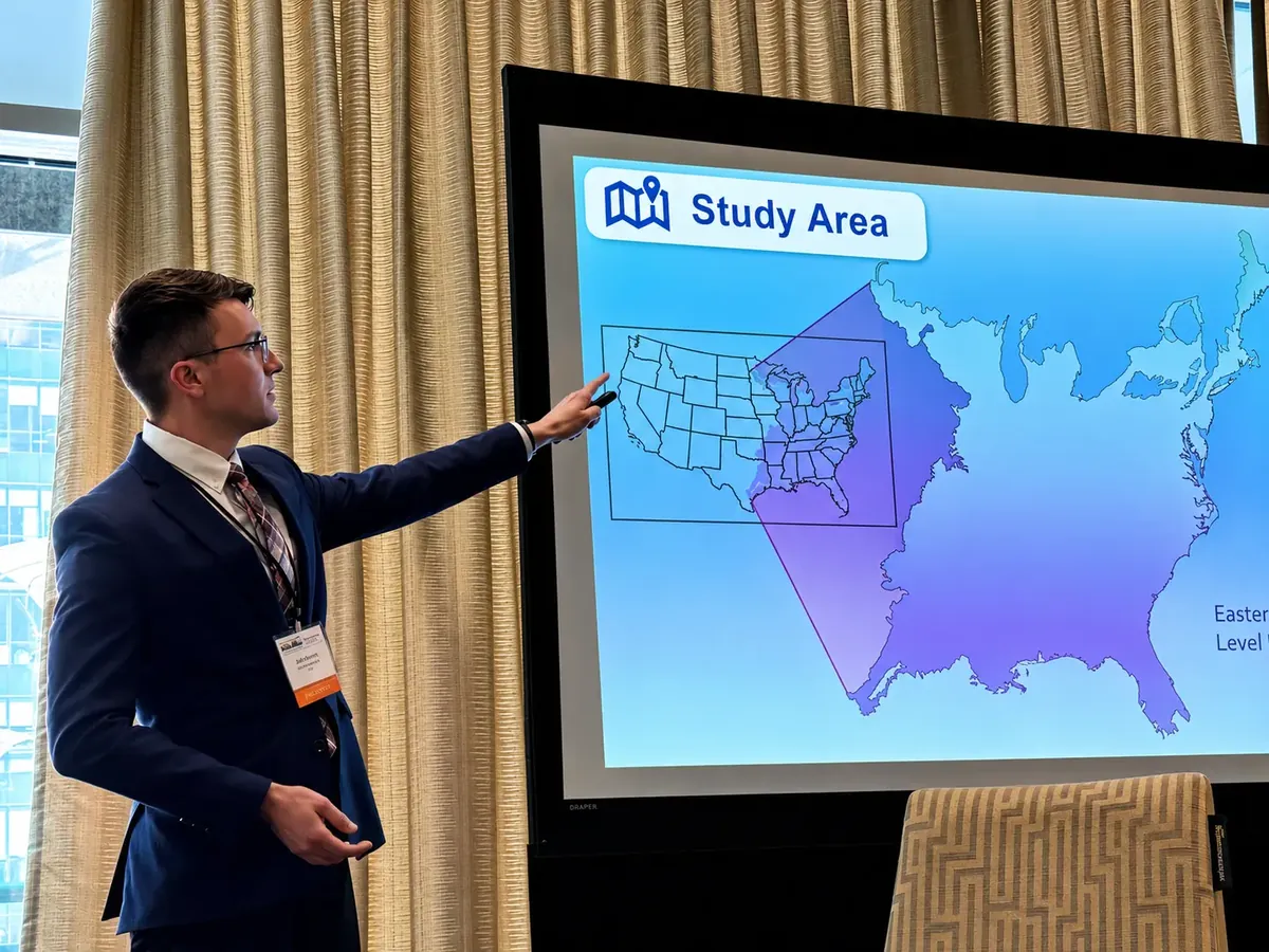
Thesis: Large Wildfire Patterns in the WUI, 4.0 GPA
Ecology, Evolution, & Organismal Track, 4.0 GPA
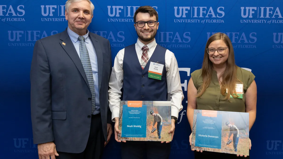
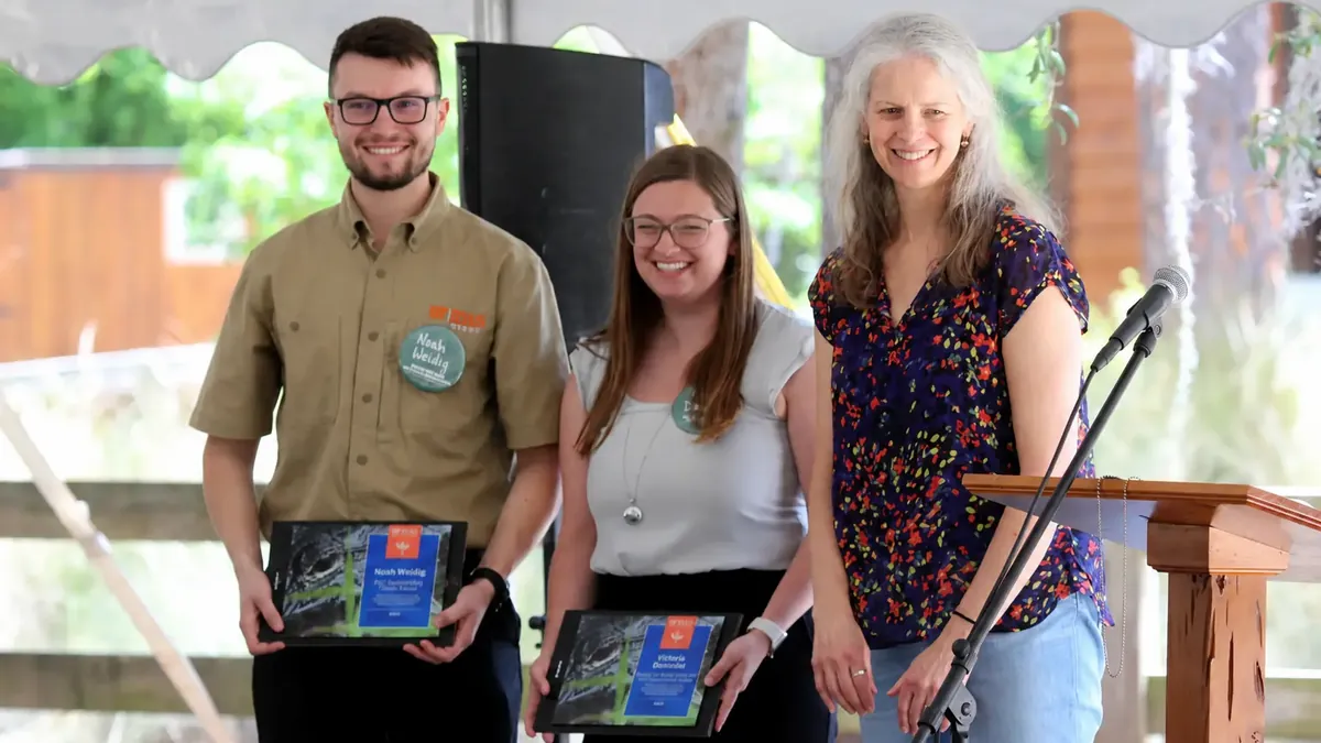
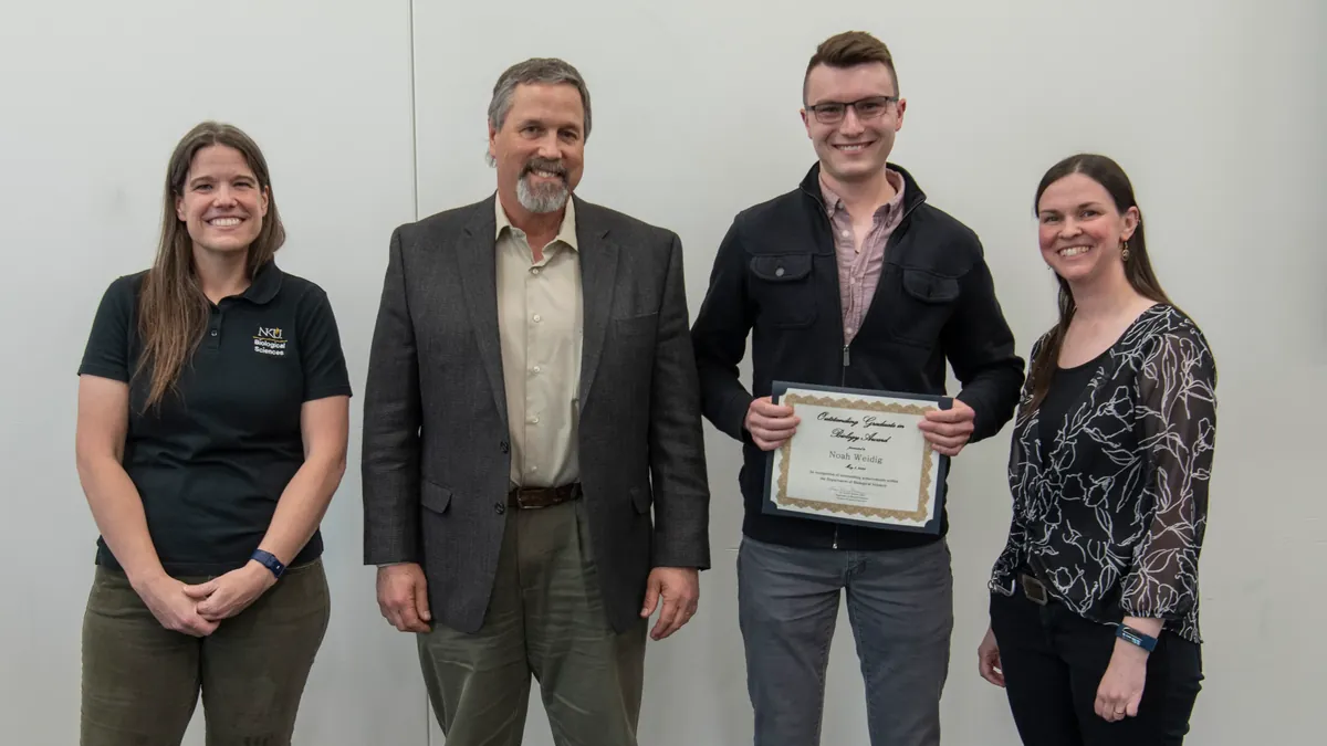
A selection of recent honors
Recent writing
Notes on science, data, maps, and the landscapes we live in
Common questions about collaboration and what I do
I work at the intersection of geospatial analytics, data science, and applied AI — building reproducible workflows that turn spatial and environmental data into decision-ready insights.
I'm drawn to work involving remote sensing, land-use change, social-ecological systems, and data storytelling. I especially enjoy projects where rigorous analysis meets clear visual communication.
Yes. I'm happy to discuss research collaborations, freelance work, and full-time opportunities in data science or GIS. The best way to start a conversation is through the contact section below.
Mostly R and Python for analysis and modeling, alongside SQL for data wrangling and a range of GIS tools (ArcGIS Pro, QGIS, GEE, GDAL) for spatial work. See the tech stack section for the full toolkit.
Email is the easiest — you'll find it in the contact section just below this one.
Let's build something amazing together
I'm always interested in hearing about new projects and opportunities. Whether you're looking to hire, collaborate, or just want to say hi, feel free to reach out!
Based at University of Florida
I'm currently looking for data scientist or GIS analyst roles.
Let's connect and discuss how I can help your team.